Published On Mar 24, 2014
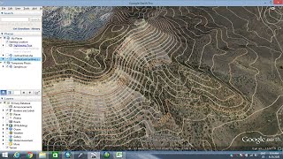
in this tutorial I will show how we can import specific location from Google Earth and then integrate it into ArchiCAD so we end up with real contour lines for the project location.
show more
in this tutorial I will show how we can import specific location from Google Earth and then integrate it into ArchiCAD so we end up with real contour lines for the project location.