Published On Mar 13, 2022
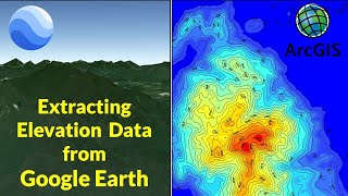
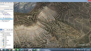
Current Clip: You will lean how to extract the 3D contours information from the Google Maps location into ArchiCAD as 3D Mesh. This will help you to generate editable 3D mesh topography for any site location on earth if you don't have the surveyors data available with you at first go.
show more