Published On Aug 8, 2023
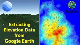
Design data can be displayed in Google Earth, allowing you to view a project in a 3D geographically oriented environment. In this video, we look at how to export a MicroStation model to view on Google Earth.
If you find this video useful, please consider subscribing to this and other Bentley YouTube channels.
Helpful Links:
Want to learn more about Bentley: https://learn.bentley.com
Additional self-service learning: https://communities.bentley.com/commu...
Bentley Blog posts: https://blog.bentley.com/
Remember to Subscribe to our Digital Currency Newsletters: https://go.bentley.com/cm/digital-cur...
Get the latest and greatest product videos, tips & tricks, and product news on the official MicroStation YouTube channel: / bentleymicrostation
Questions and discussions relating to current versions of our software: https://communities.bentley.com/produ...
Follow us on LinkedIn: / bentley-systems
Follow us on Twitter: / bentleysystems
Follow us on Facebook: / bentleysystems
Follow us on Instagram: / bentleysystems