Published On Mar 6, 2020
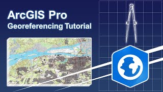
This video will show you how to georeference CAD files created in AutoCAD or Microstation in ArcMap so you use the data in your GIS.
show more
This video will show you how to georeference CAD files created in AutoCAD or Microstation in ArcMap so you use the data in your GIS.