Published On Sep 27, 2024
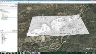
This video demonstrates how airports are using ArcGIS for Airports Extension to visualize and analyze Protected Airspace and how Apps can help protect that airspace from encroachment.
show more
This video demonstrates how airports are using ArcGIS for Airports Extension to visualize and analyze Protected Airspace and how Apps can help protect that airspace from encroachment.