Published On Oct 13, 2022
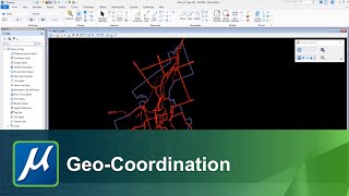
The Web Map Service (WMS) provides a simple interface for requesting georeferenced map images. The images may then be geographically aligned with the geometry in your design through the use of a geographic coordinate system (GCS) attached the the model you are working in. In this video we look at how to attach a WMS utilizing a GCS.
show more