Published On Nov 25, 2020
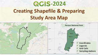
This video shows how to perform the final print layout map in QGIS. This video is showing how to make the final print layout map using QGIS. This video also shows adding legends, scale, north line, grid, co-ordinates and title to map.. This tutorial is analysed in Bengali.
Link of Image to image georeferencing: • How to do Image to Image Georeferenci...
Link of Raster image georeferencing: • How to do Georeference a Raster map i...
Link of Raster image digitization: • How to do Digitization with QGIS 2020...
Choropleth Map Preparation using QGIS 2020: • How to prepare a Choropleth Map Prepa...
#printlayoutmap #layoutinqgis #finalmap # finallayoutmap #choroplethmap #georeferencing #digitization #vector layer #qgis
show more