Published On Oct 3, 2024
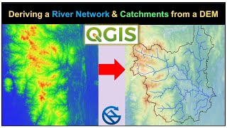
In this tutorial, we are going to learn the elevation profile map using dem in qgis software. Step-by-step processes are shown for GIS beginners. Hope it will help you. Thanks for watching.
Series 1: Introduction to Qgis Software
• QGIS Series 1: Introduction to QGIS S...
Series 2: How to install and download Qgis
• QGIS Series 2: How To Download and In...
Series 3: Basic introduction to Qgis interface
• QGIS Series 3: Basic Introduction to ...
Series 4: How to download LISS III image from the Bhoonidhi website
• QGIS Series 4: How to download LISS I...
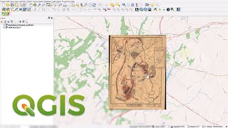
Series 5: Georeferencing using GCPs
• QGIS Series 5: Georeferencing using G...
Series 6: Image-to-image georeferencing
• QGIS Series 6: Image-to-Image Georefe...
QGIS Series 7: How to digitize a map using point, line & polygon
• QGIS Series 7: How to digitize a map ...
QGIS Series 8: Merge dem in QGIS| Clip Raster from Polygon|
• QGIS Series 8: Merge dem in QGIS| Cli...
#elevation #elevationprofile
#qgissoftware #crosssection