Published On Sep 27, 2023
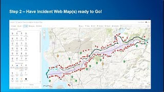
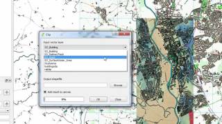
A natural disaster can hit at any moment. For search and rescue teams the first hours post-event are critical and the ability to gain situational awareness by gathering information quickly and efficiently is key to saving lives. The Center for Robot-Assisted Search & Rescue (CRASAR) shows how they collected aerial imagery to create vital GIS maps of hurricane Ian’s aftermath to guide emergency responders in their efforts to find those in need of rescue faster than ever before.
show more