Published On Apr 4, 2020
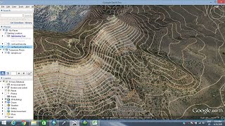
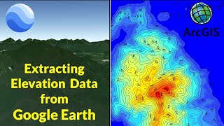
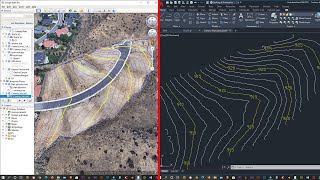
This tutorial will explain the steps to extract the elevation data form Google Earth and convert it into raster DEM i.e. Digital Elevation Model in QGIS.
Music: http://www.bensound.com/royalty-free-...
Tutorial to add Google Images and Maps in QGIS through HCMGIS plugin
• Google Earth Images in QGIS
show more